Satellite technology
Forests cover around 30% of the land on our planet and the restoration & conservation of those hectares could contribute as much as ¼ of what is needed to achieve the Paris Agreement goals. Tracks CO2 Satellite Technology can measure the carbon impact in a trusted and efficient way and help channel investments for Forest Projects. Satellite monitoring and Artificial Intelligence can unlock the necessary investment to save our planet
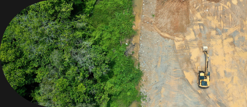
Traditional methods to calculate Forest Carbon
Project Developers must send teams to the sites to conduct carbon analysis by hand. They usually measure the height and diameter of random trees within the boundaries and then carbon is estimated. These carbon analyses are labor intensive and time consuming which make it very difficult to scale at the pace needed by the planet. Also, the projects are usually developed in third world countries which make it much more difficult and expensive. It usually takes several months to estimate the carbon of several hectares and they must be repeated every 5-10 years


Satellite and AI can map carbon at scale
To estimate the equivalent CO2 absorbed by a forest, it is necessary to know the characteristics of the trees that compose it, such as height or diameter (dbh). Currently there is no satellite in orbit capable of providing these data characteristics globally, periodically and with guarantees of continuity
Does this mean that satellite data cannot be useful for the estimation of CO2?
Not at all. The use of the available satellite data combined with machine learning methods can be useful to identify key forest characteristics that are used to estimate forest carbon storage. To train our machine learning models Tracks CO2 develops data from on-site carbon analyses. Eventually we will need less of those on-site analyses and will be able to apply machine learning models to entire regions
Tracks CO2 uses the following satellite data

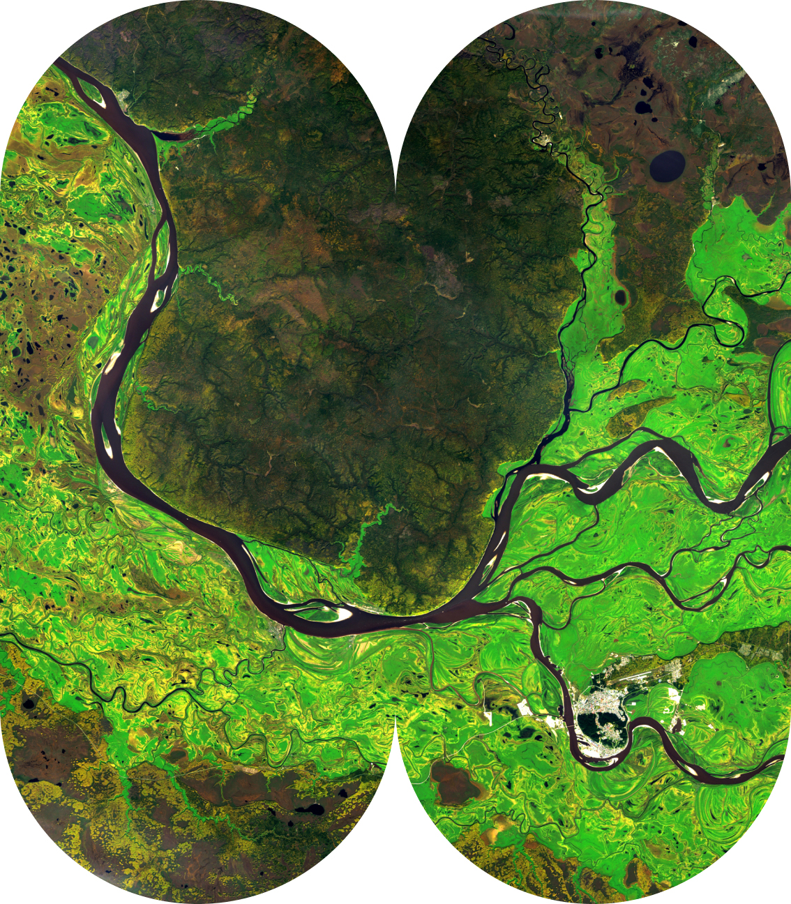
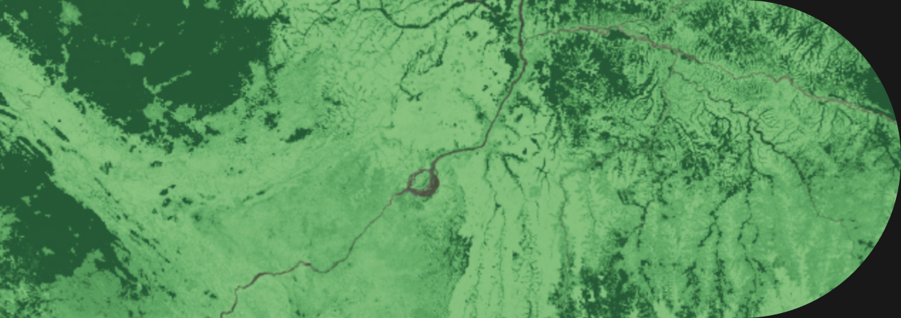
Optic
Optical remote sensing satellites use reflected light to detect electromagnetic energy on the Earth’s surface. The level of energy is represented by the electromagnetic spectrum, the range of energy that comes from the sun

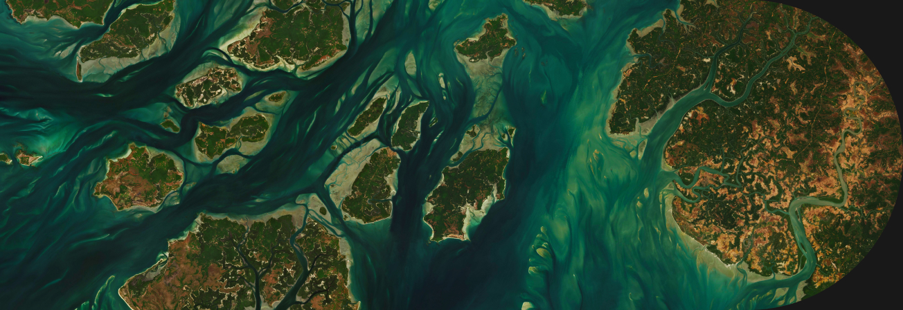
Radar
Radio Detection and Ranging: Transmits its own signals and we measure what comes back when bouncing them to Earth. This permits measuring height and elevation and by using some specific frequencies
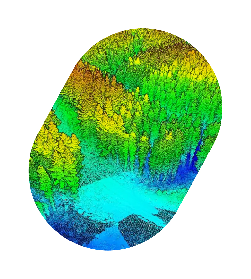
LiDAR
Light Detection and Ranging: Is a remote sensing method that uses light (pulsed laser) to measure variable distances to earth. What is special about LiDAR is that it can build a 3D matrix of the environment due to its precise distance measure points. This allows that by doing a comprehensive mapping we can have information on objects’ position, shape and behavior while having accuracy, precision and flexibility
Optic
Optical remote sensing satellites use reflected light to detect electromagnetic energy on the Earth’s surface. The level of energy is represented by the electromagnetic spectrum, the range of energy that comes from the sun
Applications

Estimate Carbon
We use machine learning algorithms combined with tree key characteristics extracted from remote sensing data to estimate the forest carbon storage


Vegetation Status
Using optical satellite technology we can extract several indices to determine vegetation status, water stress or anticipate unusual land changes in extensive lands such fires or flooding

Scaling local to global
We are improving our machine learning models with local field plots combined with remote sensing data to be able to globally scale the results

Plan new forest projects
In Tracks CO2 we are developing a technology to find state of the art forest carbon projects that are suitable for reforestation or afforestation to restore millions of hectares